Recursive Estimation and Prediction of Earth Deformation from SAR Image Time Series
The systematic acquisition of and free access to Sentinel-1 A/B Synthetic Aperture Radar (SAR) images provide scientists with both opportunities and challenges for operational monitoring of Earth deformation by SAR image time series. This project brings together, for the first time, Interferometry SAR, statistical learning, deep learning and geophysics skills in order to form an interdisciplinary team who aims to promote methodological development for operational Earth deformation monitoring and natural hazard prediction by SAR image time series.
Latest News
Annual meeting on 22 June, 2023 at Annecy.

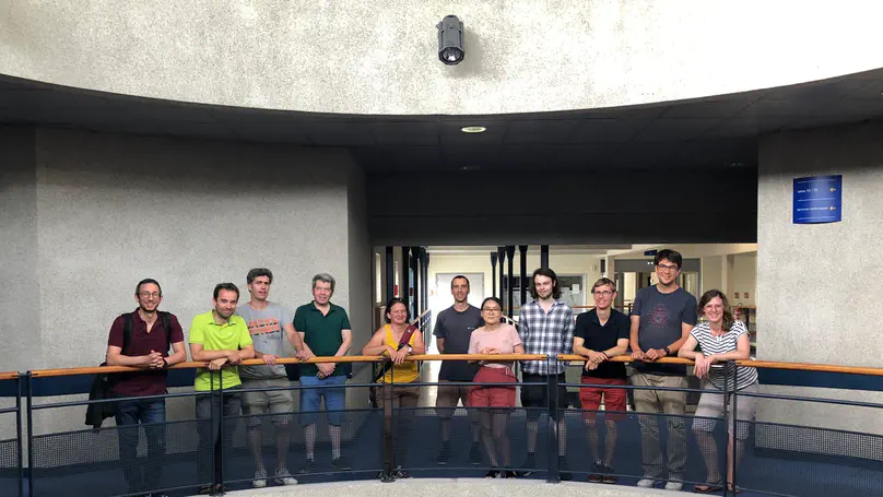
The kick-off meeting is held at Annecy on 21 June 2022. Participants: Y. Yan, A. Benoit, G. Ginolhac, N. Méger, E. Trouvé, A. Atto, L. Lopez-Uroz, H. Vu, N. El Korso, V.